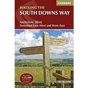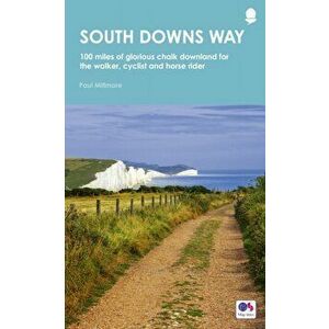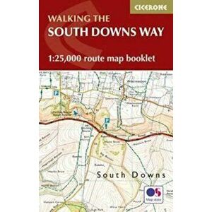
South Downs Way Map Booklet. 1: 25, 000 OS Route Mapping, Paperback - Kev Reynolds
62,99 RON
Map of the 100 mile (160km) South Downs Way National Trail, between Eastbourne and Winchester. This booklet is included with the Cicerone guidebook...
elefant.ro