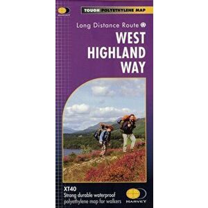
The West Highland Way (Footprint Map). A Footprint Map-Guide to the 95 Mile Route Between Milngavie and Fort William, New ed, Sheet Map - ***
92,99 RON
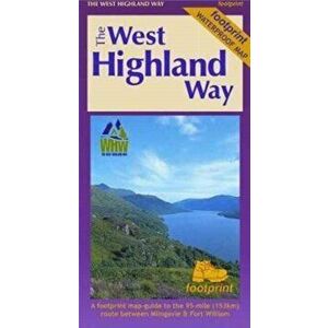
The West Highland Way waterproof map from Footprint is a map-guide to the 95 mile (153km) route between Milngavie and Fort William. The mapping is ...
elefant.ro