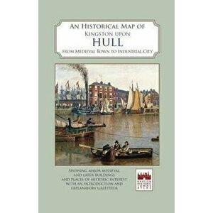
An Historical Map of Kingston Upon Hull, Sheet Map - ***59,99 RONA full colour map, based on an Ordnance Survey map of 1928, with buildings and sites of interest picked out.Publisher: The Historic Towns TrustIllu...the historic towns trust, carti, carte straina, lifestyleelefant.roSimilar cu An Historical Map of Kingston Upon Hull, Sheet Map - ***
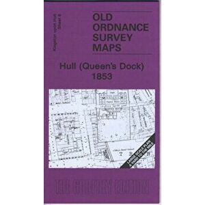
Hull (Queen's Dock) 1853. Kingston Upon Hull Sheet 8, Sheet Map - Susan Neave27,99 RONPublisher: Alan Godfrey MapsAuthor(s): Susan NeaveCollection: Old Ordnance Survey Maps - Yard to the MilePublication date: 2009Dimensions: 210 x 12...alan godfrey maps, carti, carte straina, earth scienceselefant.roSimilar cu Hull (Queen's Dock) 1853. Kingston Upon Hull Sheet 8, Sheet Map - Susan Neave
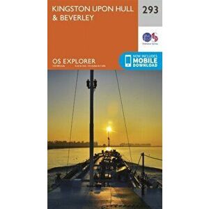
Kingston-Upon-Hull and Beverley. September 2015 ed, Sheet Map - Ordnance Survey61,99 RONPublisher: Ordnance SurveyAuthor(s): Ordnance SurveyCollection: OS Explorer MapPublication date: 2015Dimensions: 233 x 132 x 13Cover type: Sheet ma...ordnance survey, carti, carte straina, lifestyleelefant.roSimilar cu Kingston-Upon-Hull and Beverley. September 2015 ed, Sheet Map - Ordnance Survey
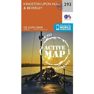
Kingston-Upon-Hull and Beverley. September 2015 ed, Sheet Map - Ordnance Survey98,99 RONPublisher: Ordnance SurveyAuthor(s): Ordnance SurveyCollection: OS Explorer Active MapPublication date: 2015Dimensions: 235 x 134 x 20Cover type: S...ordnance survey, carti, carte straina, lifestyleelefant.roSimilar cu Kingston-Upon-Hull and Beverley. September 2015 ed, Sheet Map - Ordnance Survey
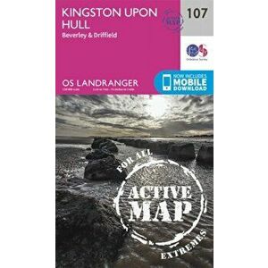
Kingston Upon Hull, Beverley & Driffield. February 2016 ed, Sheet Map - Ordnance Survey98,99 RONPublisher: Ordnance SurveyAuthor(s): Ordnance SurveyCollection: OS Landranger Active MapPublication date: 2016Dimensions: 228 x 124 x 18Cover type:...ordnance survey, carti, carte straina, lifestyleelefant.roSimilar cu Kingston Upon Hull, Beverley & Driffield. February 2016 ed, Sheet Map - Ordnance Survey
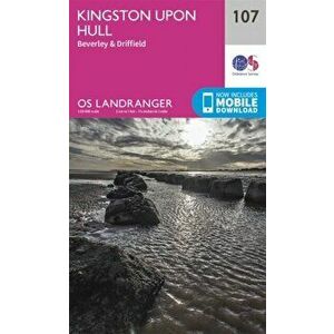
Kingston Upon Hull, Beverley & Driffield. February 2016 ed, Sheet Map - Ordnance Survey61,99 RONPublisher: Ordnance SurveyAuthor(s): Ordnance SurveyCollection: OS Landranger MapPublication date: 2016Dimensions: 217 x 136 x 12Cover type: Sheet ...ordnance survey, carti, carte straina, lifestyleelefant.roSimilar cu Kingston Upon Hull, Beverley & Driffield. February 2016 ed, Sheet Map - Ordnance Survey
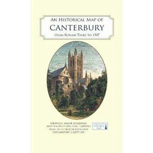
An Historical Map of Canterbury from medieval times to 1907, Sheet Map - ***61,99 RONA full colour map, based on a digitised map of the city of Canterbury in 1907, with its Roman, Anglo-Saxon and medieval past overlain and important...the historic towns trust, carti, carte straina, history & archaeologyelefant.roSimilar cu An Historical Map of Canterbury from medieval times to 1907, Sheet Map - ***
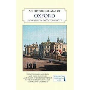
An Historical Map of Oxford: From Medieval to Victorian Times (New Edition). 2 Revised edition, Sheet Map - ***61,99 RONA full colour map, based on a digitised map of the city of Oxford in 1876, with its medieval past overlain and important buildings picked out. The ...the historic towns trust, carti, carte straina, history & archaeologyelefant.roSimilar cu An Historical Map of Oxford: From Medieval to Victorian Times (New Edition). 2 Revised edition, Sheet Map - ***
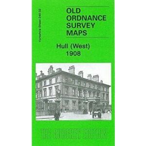
Hull (West) 1908. Yorkshire Sheet 240.02, Sheet Map - Alan Godfrey27,99 RONPublisher: Alan Godfrey MapsAuthor(s): Alan GodfreyCollection: Old Ordnance Survey Maps of YorkshirePublication date: 2006Dimensions: 212 x 112 x 2...alan godfrey maps, carti, carte straina, lifestyleelefant.roSimilar cu Hull (West) 1908. Yorkshire Sheet 240.02, Sheet Map - Alan Godfrey
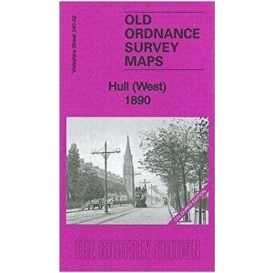
Hull (West) 1890. Yorkshire Sheet 240.02, Sheet Map - Susan Neave31,99 RONPublisher: Alan Godfrey MapsAuthor(s): Susan NeaveCollection: Old Ordnance Survey Maps of YorkshirePublication date: 2011Dimensions: 212 x 121 x 4C...alan godfrey maps, carti, carte straina, lifestyleelefant.roSimilar cu Hull (West) 1890. Yorkshire Sheet 240.02, Sheet Map - Susan Neave
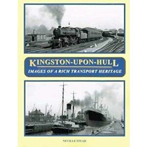
Kingston-Upon-Hull. Images of a Rich Transport Heritage, Paperback - Neville Stead127,99 RONA book of 205 superb photographs over 112 pages illustrating the rich and diverse forms of transport to be seen in Kingston-upon-Hull during the 20...bellcode books, carti, carte straina, lifestyleelefant.roSimilar cu Kingston-Upon-Hull. Images of a Rich Transport Heritage, Paperback - Neville Stead
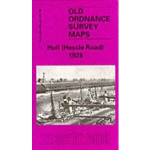
Hull (Hessle Road) 1928. Yorkshire Sheet 240.06, Facsimile of 1928 ed, Sheet Map - Arthur G. Credland27,99 RONPublisher: Alan Godfrey MapsAuthor(s): Arthur G. CredlandCollection: Old O.S. Maps of YorkshirePublication date: 1987Dimensions: 122 x 210 x 7Cover...alan godfrey maps, carti, carte straina, lifestyleelefant.roSimilar cu Hull (Hessle Road) 1928. Yorkshire Sheet 240.06, Facsimile of 1928 ed, Sheet Map - Arthur G. Credland
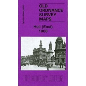
Hull (East) 1908. Yorkshire Sheet 240.03, Facsimile ed, Sheet Map - Susan Neave27,99 RONPublisher: Alan Godfrey MapsAuthor(s): Susan NeaveCollection: Old Ordnance Survey Maps of YorkshirePublication date: 2007Dimensions: 122 x 194 x 1C...alan godfrey maps, carti, carte straina, lifestyleelefant.roSimilar cu Hull (East) 1908. Yorkshire Sheet 240.03, Facsimile ed, Sheet Map - Susan Neave
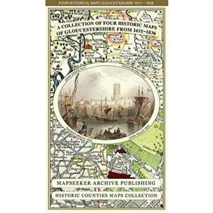
Gloucestershire 1611 - 1836 - Fold Up Map that features a collection of Four Historic Maps, Sheet Map - Mapseeker Publishing Ltd.167,99 RONPublisher: Historical Images LtdAuthor(s): Mapseeker Publishing Ltd.Collection: Historic Counties Maps CollectionPublication date: 2014Dimensions: ...historical images ltd, carti, carte straina, lifestyleelefant.roSimilar cu Gloucestershire 1611 - 1836 - Fold Up Map that features a collection of Four Historic Maps, Sheet Map - Mapseeker Publishing Ltd.
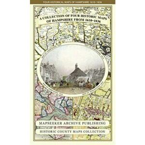
Hampshire 1610 - 1836 - Fold Up Map that features a collection of Four Historic Maps, Sheet Map - Mapseeker Publishing Ltd.167,99 RONPublisher: Historical Images LtdAuthor(s): Mapseeker Publishing Ltd.Collection: Historic Counties Maps CollectionPublication date: 2014Dimensions: ...historical images ltd, carti, carte straina, lifestyleelefant.roSimilar cu Hampshire 1610 - 1836 - Fold Up Map that features a collection of Four Historic Maps, Sheet Map - Mapseeker Publishing Ltd.
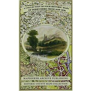
Derbyshire 1610 - 1836 - Fold Up Map that features a collection of Four Historic Maps, Sheet Map - Mapseeker Publishing Ltd.167,99 RONPublisher: Historical Images LtdAuthor(s): Mapseeker Publishing Ltd.Collection: Historic Counties Maps CollectionPublication date: 2014Dimensions: ...historical images ltd, carti, carte straina, lifestyleelefant.roSimilar cu Derbyshire 1610 - 1836 - Fold Up Map that features a collection of Four Historic Maps, Sheet Map - Mapseeker Publishing Ltd.
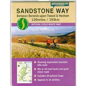
Sandstone Way Cycle Route Map - Northumberland. Between Berwick Upon Tweed and Hexham, Sheet Map - Ted Liddle58,99 RONPublisher: Northern Heritage ServicesAuthor(s): Ted LiddlePublication date: 2015Dimensions: 184 x 139 x 4Cover type: Sheet map, foldedRedescopera f...northern heritage services, carti, carte straina, lifestyleelefant.roSimilar cu Sandstone Way Cycle Route Map - Northumberland. Between Berwick Upon Tweed and Hexham, Sheet Map - Ted Liddle
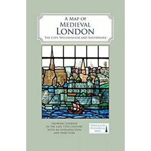
Map of Medieval London. The City, Westminster and Southwark, Sheet Map - ***68,00 RONA full colour map showing London about 1270 to 1300 - its walls and gates, parish churches, early monasteries and hospitals, and a growing number o...the historic towns trust, carti, carte straina, history & archaeologyelefant.roSimilar cu Map of Medieval London. The City, Westminster and Southwark, Sheet Map - ***
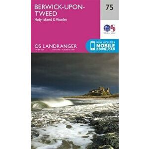
Berwick-Upon-Tweed. February 2016 ed, Sheet Map - Ordnance Survey61,99 RONPublisher: Ordnance SurveyAuthor(s): Ordnance SurveyCollection: OS Landranger MapPublication date: 2016Dimensions: 219 x 137 x 11Cover type: Sheet ...ordnance survey, carti, carte straina, lifestyleelefant.roSimilar cu Berwick-Upon-Tweed. February 2016 ed, Sheet Map - Ordnance Survey
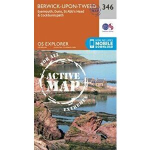
Berwick-Upon-Tweed. September 2015 ed, Sheet Map - Ordnance Survey98,99 RONPublisher: Ordnance SurveyAuthor(s): Ordnance SurveyCollection: OS Explorer Active MapPublication date: 2015Dimensions: 235 x 137 x 24Cover type: S...ordnance survey, carti, carte straina, lifestyleelefant.roSimilar cu Berwick-Upon-Tweed. September 2015 ed, Sheet Map - Ordnance Survey
Newcastle Upon Tyne. September 2015 ed, Sheet Map - Ordnance Survey98,99 RONPublisher: Ordnance SurveyAuthor(s): Ordnance SurveyCollection: OS Explorer Active MapPublication date: 2015Dimensions: 227 x 140 x 21Cover type: S...ordnance survey, carti, carte straina, lifestyleelefant.roSimilar cu Newcastle Upon Tyne. September 2015 ed, Sheet Map - Ordnance Survey
Newcastle Upon Tyne. September 2015 ed, Sheet Map - Ordnance Survey61,99 RONPublisher: Ordnance SurveyAuthor(s): Ordnance SurveyCollection: OS Explorer MapPublication date: 2015Dimensions: 136 x 228 x 32Cover type: Sheet ma...ordnance survey, carti, carte straina, lifestyleelefant.roSimilar cu Newcastle Upon Tyne. September 2015 ed, Sheet Map - Ordnance Survey
Berwick-Upon-Tweed. September 2015 ed, Sheet Map - Ordnance Survey61,99 RONPublisher: Ordnance SurveyAuthor(s): Ordnance SurveyCollection: OS Explorer MapPublication date: 2015Dimensions: 238 x 146 x 13Cover type: Sheet ma...ordnance survey, carti, carte straina, lifestyleelefant.roSimilar cu Berwick-Upon-Tweed. September 2015 ed, Sheet Map - Ordnance Survey
Berwick-Upon-Tweed. February 2016 ed, Sheet Map - Ordnance Survey98,99 RONPublisher: Ordnance SurveyAuthor(s): Ordnance SurveyCollection: OS Landranger Active MapPublication date: 2016Dimensions: 222 x 128 x 19Cover type:...ordnance survey, carti, carte straina, lifestyleelefant.roSimilar cu Berwick-Upon-Tweed. February 2016 ed, Sheet Map - Ordnance Survey
Stratford-Upon-Avon and Evesham. September 2015 ed, Sheet Map - Ordnance Survey61,99 RONPublisher: Ordnance SurveyAuthor(s): Ordnance SurveyCollection: OS Explorer MapPublication date: 2015Dimensions: 137 x 240 x 15Cover type: Sheet ma...ordnance survey, carti, carte straina, lifestyleelefant.roSimilar cu Stratford-Upon-Avon and Evesham. September 2015 ed, Sheet Map - Ordnance Survey
Stratford-Upon-Avon and Evesham. September 2015 ed, Sheet Map - Ordnance Survey98,99 RONPublisher: Ordnance SurveyAuthor(s): Ordnance SurveyCollection: OS Explorer Active MapPublication date: 2015Dimensions: 237 x 136 x 21Cover type: S...ordnance survey, carti, carte straina, lifestyleelefant.roSimilar cu Stratford-Upon-Avon and Evesham. September 2015 ed, Sheet Map - Ordnance Survey
Derby & Burton Upon Trent. February 2016 ed, Sheet Map - Ordnance Survey98,99 RONPublisher: Ordnance SurveyAuthor(s): Ordnance SurveyCollection: OS Landranger Active MapPublication date: 2016Dimensions: 194 x 136 x 20Cover type:...ordnance survey, carti, carte straina, lifestyleelefant.roSimilar cu Derby & Burton Upon Trent. February 2016 ed, Sheet Map - Ordnance Survey
Derby & Burton Upon Trent. February 2016 ed, Sheet Map - Ordnance Survey61,99 RONPublisher: Ordnance SurveyAuthor(s): Ordnance SurveyCollection: OS Landranger MapPublication date: 2016Dimensions: 136 x 228 x 13Cover type: Sheet ...ordnance survey, carti, carte straina, lifestyleelefant.roSimilar cu Derby & Burton Upon Trent. February 2016 ed, Sheet Map - Ordnance Survey
Manchester 1650 - 1876 - Fold Up Map featuring William Swire's Plan of Manchester and Environs 1824, Sheet Map - Mapseeker Publishing Ltd.167,99 RONPublisher: Historical Images LtdAuthor(s): Mapseeker Publishing Ltd.Collection: Manchester Historic Maps CollectionPublication date: 2014Dimensions...historical images ltd, carti, carte straina, lifestyleelefant.roSimilar cu Manchester 1650 - 1876 - Fold Up Map featuring William Swire's Plan of Manchester and Environs 1824, Sheet Map - Mapseeker Publishing Ltd.
Isle of Wight Pocket Map, Sheet Map - A-Z maps24,99 RONExplore the Isle of Wight with this up-to-date detailed A-Z pocket map. As well as Newport, other areas covered are The Needles, Chale, Brighstone ...harpercollins publishers, carti, carte straina, lifestyleelefant.roSimilar cu Isle of Wight Pocket Map, Sheet Map - A-Z maps
Newcastle Upon Tyne, Durham & Sunderland. February 2016 ed, Sheet Map - Ordnance Survey98,99 RONPublisher: Ordnance SurveyAuthor(s): Ordnance SurveyCollection: OS Landranger Active MapPublication date: 2016Dimensions: 219 x 137 x 23Cover type:...ordnance survey, carti, carte straina, lifestyleelefant.roSimilar cu Newcastle Upon Tyne, Durham & Sunderland. February 2016 ed, Sheet Map - Ordnance Survey
Stratford-Upon-Avon, Warwick & Banbury. February 2016 ed, Sheet Map - Ordnance Survey98,99 RONPublisher: Ordnance SurveyAuthor(s): Ordnance SurveyCollection: OS Landranger Active MapPublication date: 2016Dimensions: 222 x 128 x 19Cover type:...ordnance survey, carti, carte straina, lifestyleelefant.roSimilar cu Stratford-Upon-Avon, Warwick & Banbury. February 2016 ed, Sheet Map - Ordnance Survey
Stratford-Upon-Avon, Warwick & Banbury. February 2016 ed, Sheet Map - Ordnance Survey61,99 RONPublisher: Ordnance SurveyAuthor(s): Ordnance SurveyCollection: OS Landranger MapPublication date: 2016Dimensions: 219 x 136 x 12Cover type: Sheet ...ordnance survey, carti, carte straina, lifestyleelefant.roSimilar cu Stratford-Upon-Avon, Warwick & Banbury. February 2016 ed, Sheet Map - Ordnance Survey
The Practice of the Presence of God, Paperback - Brother Lawrence10 produseeremitical press, carti, carte straina, philosophy & religionCartiMuzica.roToate The Practice of the Presence of God, Paperback - Brother Lawrence
The Adventures of Sherlock Holmes, Paperback - Sir Arthur Conan Doyle16 produsedigireads.com, carti, carte straina, fiction & related items, thrillerCartiMuzica.roToate The Adventures of Sherlock Holmes, Paperback - Sir Arthur Conan Doyle
The Sermons of John Donne, Volume X, Paperback - John Donne9 produseuniversity of california press, carti, carte straina, philosophy & religionCartiMuzica.roToate The Sermons of John Donne, Volume X, Paperback - John Donne
Court of Thorns and Roses, Paperback - Sarah J. Maas5 produsebloomsbury publishing plc, carti, carte straina, fiction & related items, fantasyCartiMuzica.roToate Court of Thorns and Roses, Paperback - Sarah J. Maas
The Eye of the World. The Wheel of Time #1 - Robert Jordan12 produserobert jordan, beletristica, beletristica limbi straineCartiMuzica.roToate The Eye of the World. The Wheel of Time #1 - Robert Jordan